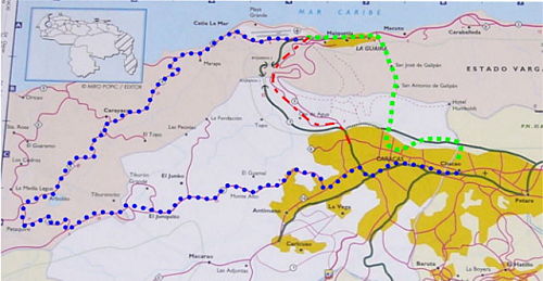
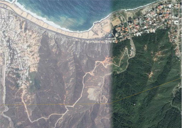
(click any picture to get enlargement)
Background: Since the main highway has been closed, the diagram to the right shows the options we have to get from Caracas to the airport. This story is only about the green route
GREEN: Old cobblestone road over the Avila
mountains.
A 4-wheel drive vehicle is required; estimate 1-2
stressful day time only hours.
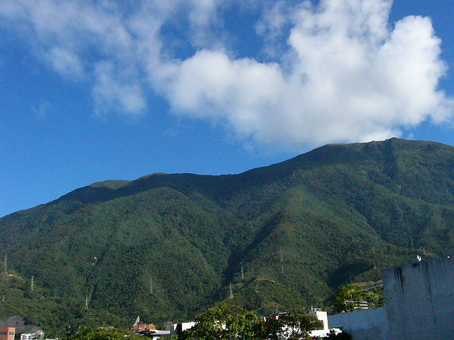
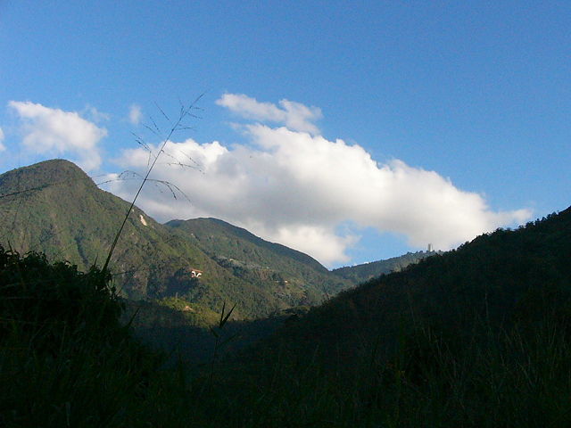
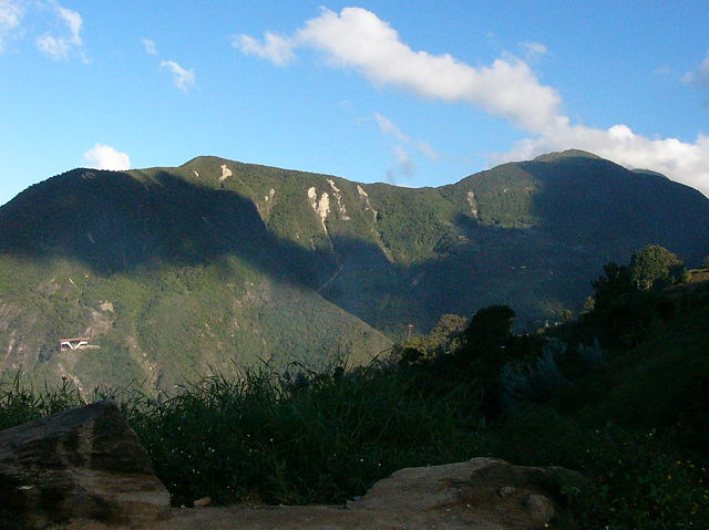
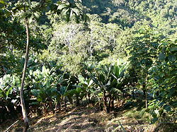
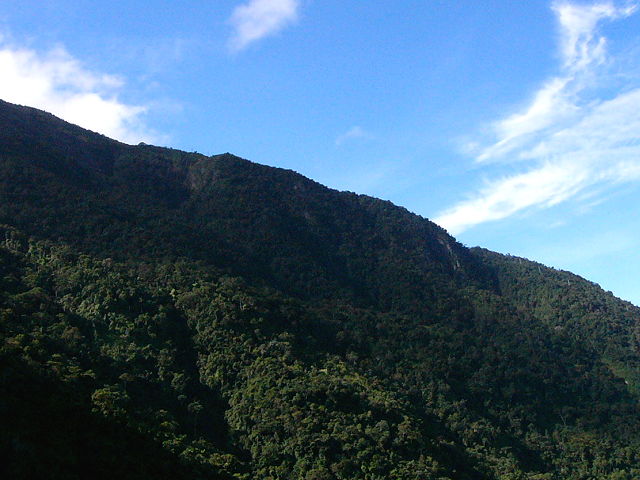
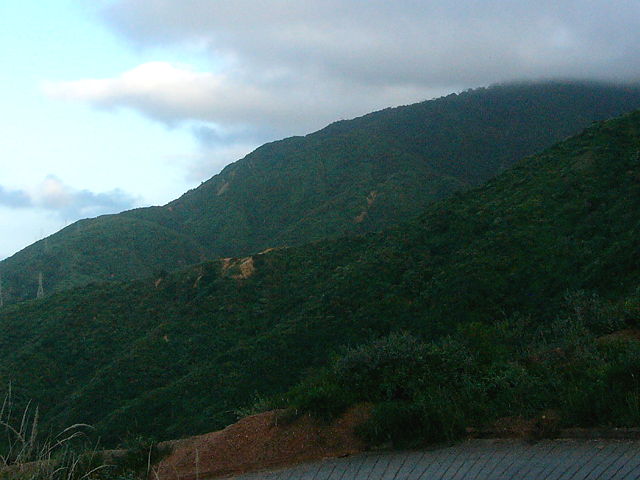
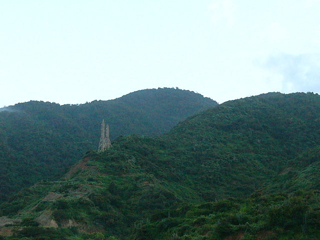
The mountains that need to be crossed is called the Avila range and
is about 7000 feet tall!
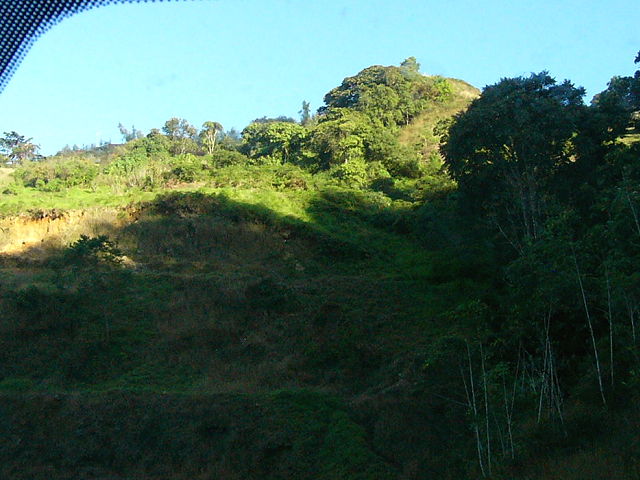
It is a beautiful sight & quite a scenic trip, but it's a pain if all you want to do is to get to the airport on the other side!
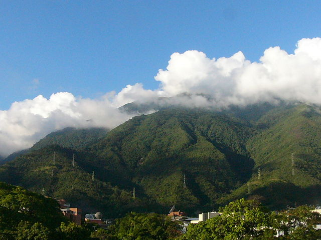
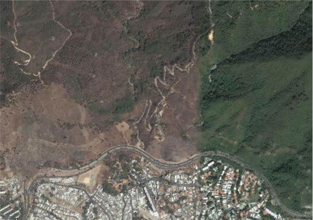
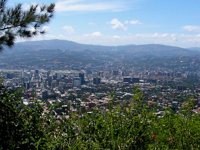
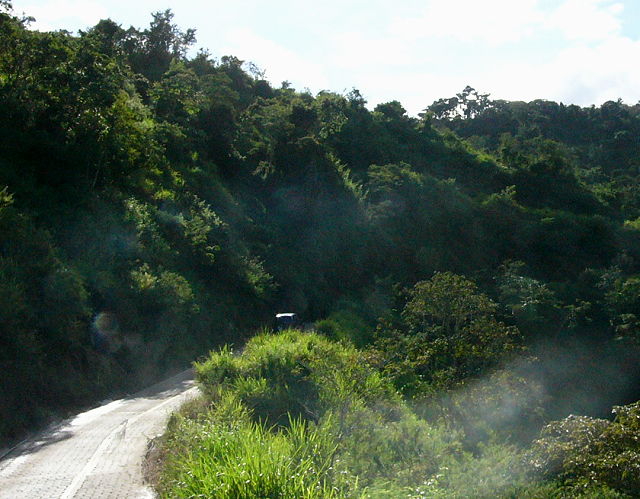
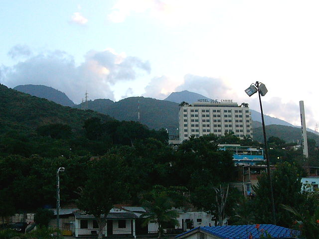
The road starts in Caracas and heads up into the mountains.
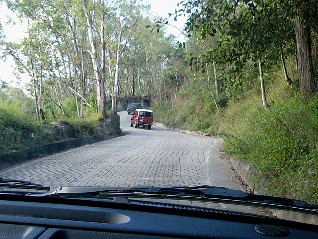
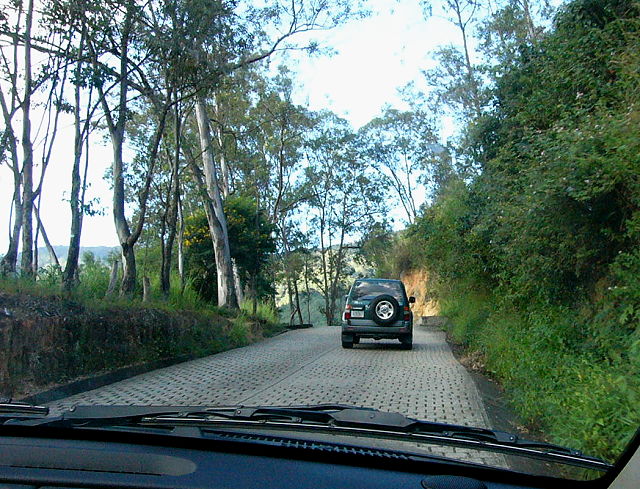
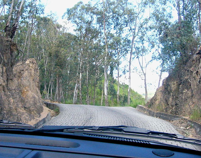
but it is plenty wide enough for 2 vehicles... this part was quite enjoyable.
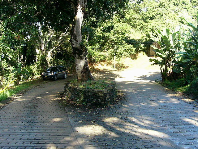
Avila Divided Highway
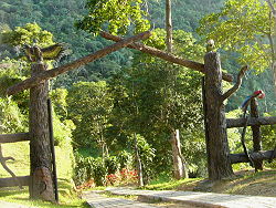
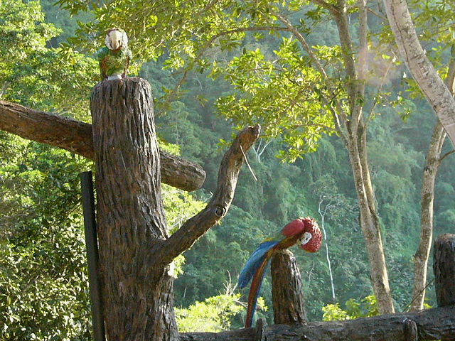
There was even a ranch with nice bird carvings. We passed a few restaurants and guest houses... places we will have to visit again sometime.
The trip down the mountain was
substantially longer than the trip up the mountain.
Caracas is at 3000 feet and we went up to 7000 feet... and now we need to go to
0000... sea level.
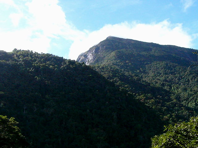
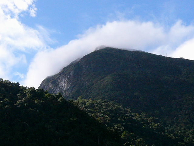
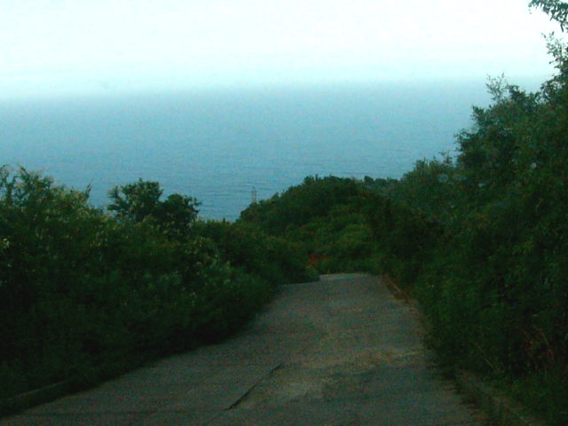
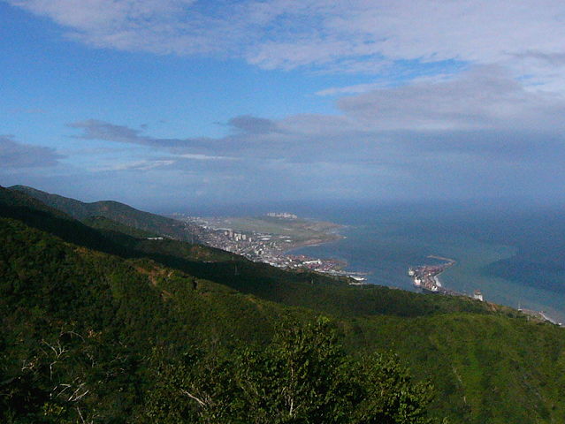
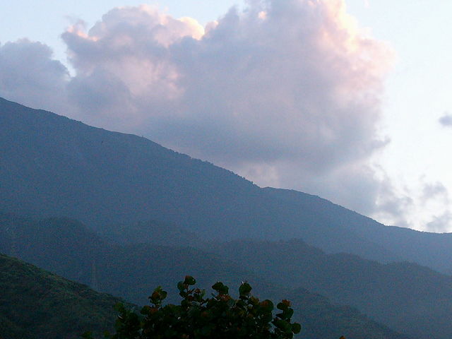
As we started down towards the coast, we could look back at the top of the Avila range; impressive!
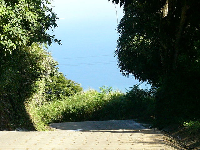
A little further down we could finally see the ocean... but then we could see clouds blowing in.
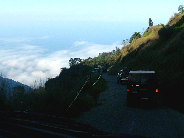
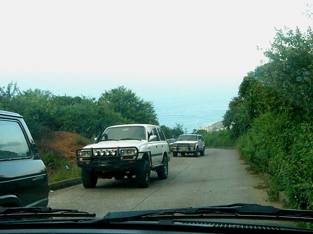
The road got really steep again... and we could see damage that was caused by prior storms.
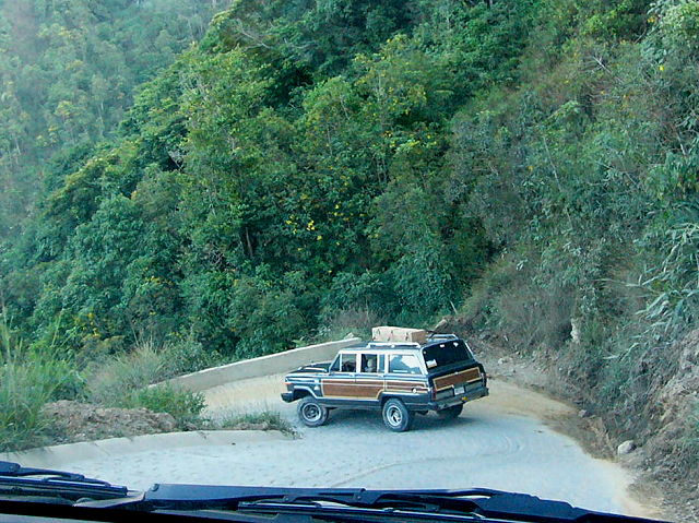
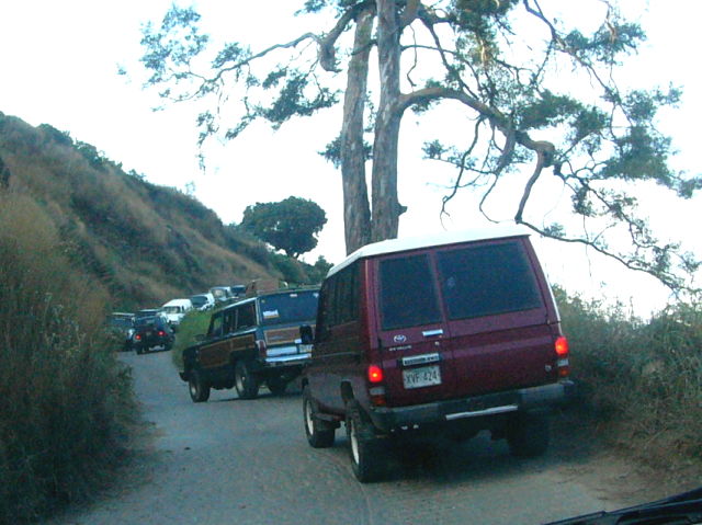
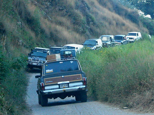
The steepness really slowed the traffic
down and backups occurred.
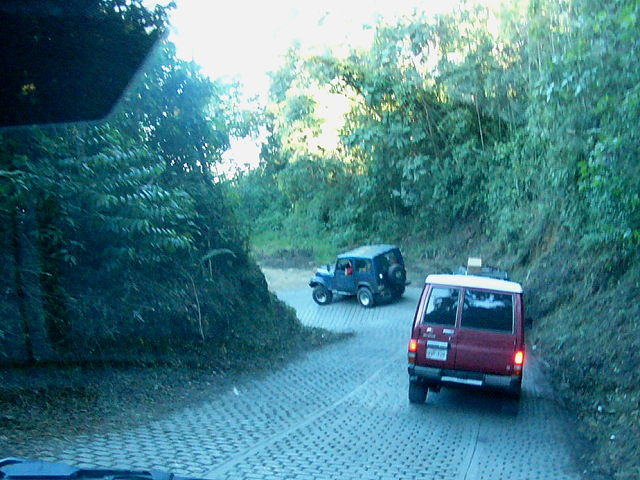
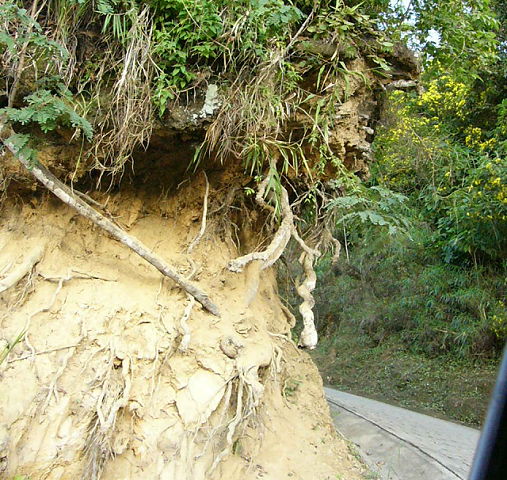
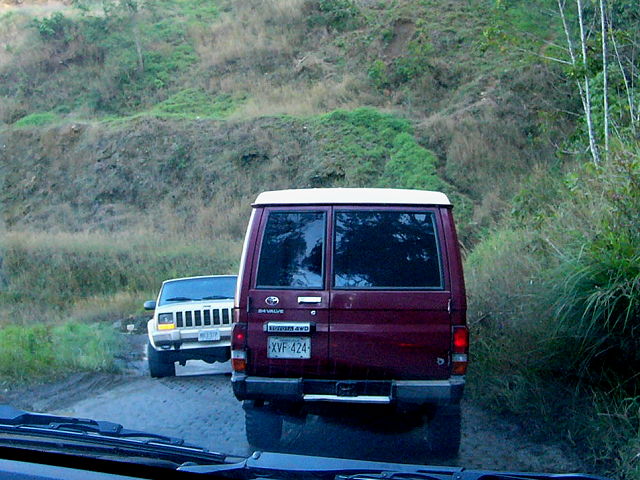
At some points there had been little landslides and only one vehicle could pass
at a time.
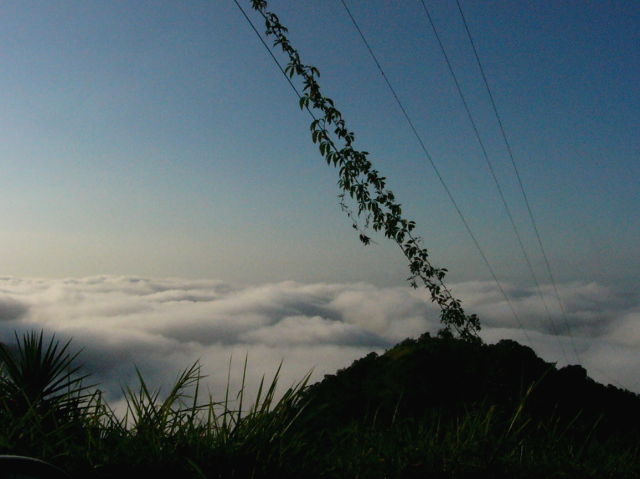
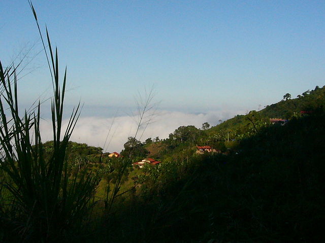
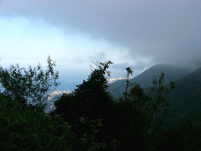
The clouds that blew in were very pretty, but then we started to realize that we might have to drive through them... heavy fog on a windy mountain road... yuk!
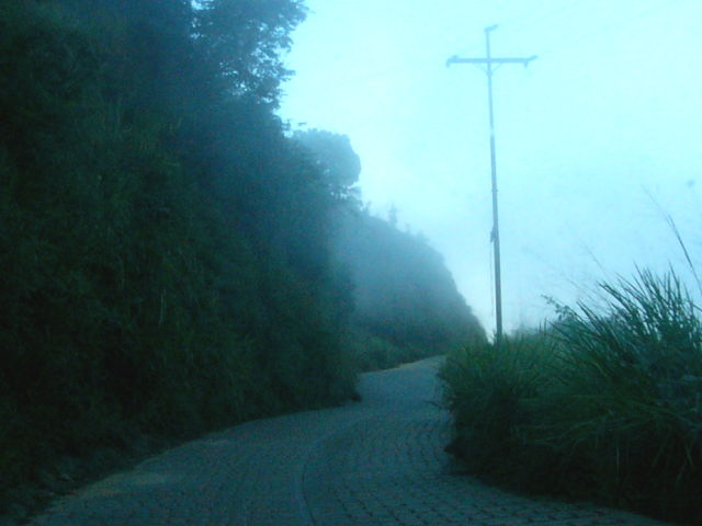

The fog wasn't as bad as we thought, and it wasn't heavy enough to cause the road to get wet.
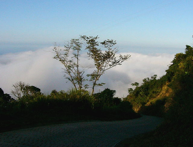
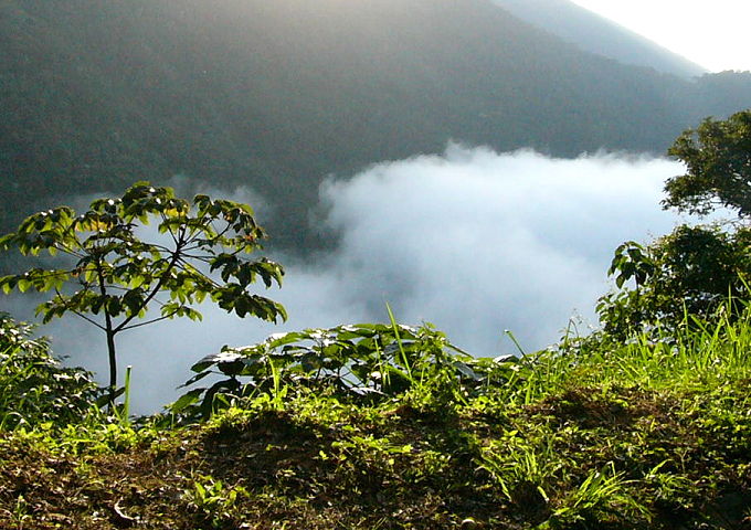
The views were strange after we got under the layer of clouds; then the sun came out!
Out of the fog we could suddenly see our ultimate destination ...
... the airport!
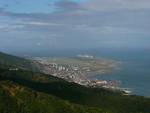
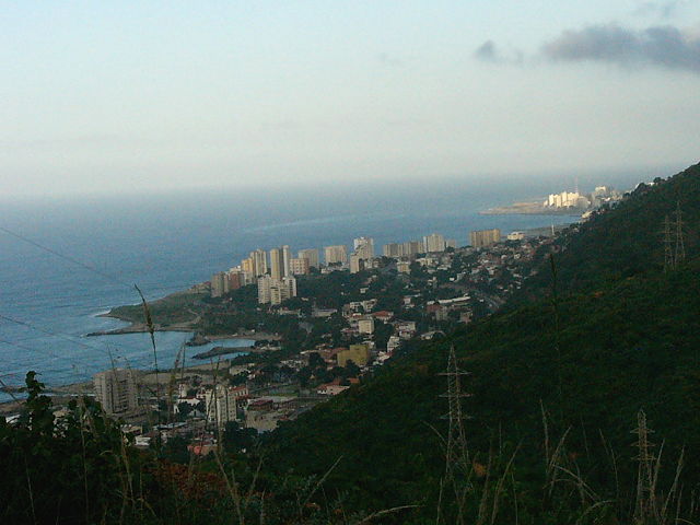
We also could see the town of Macuto and the coastal waters (dirty) ... we almost made it!

We made it... here are views of where we came from ... the mountains are quite high!

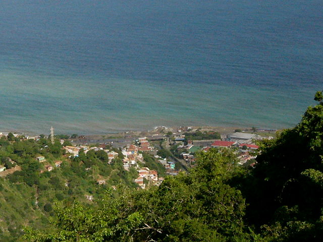
Views from Macuto ... now
it's time to drive to the airport, which is only 15 minutes down the coast.
Again, now you know why a lot of Caracas folks have stayed around home for the
past few months!
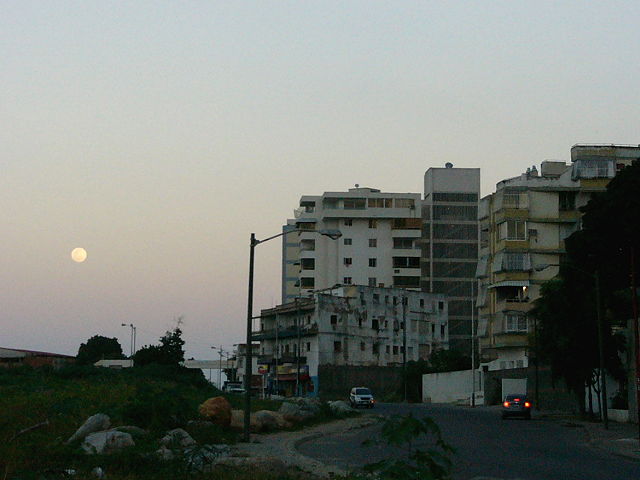
Note: after getting people
who arrived at 11pm at night... we had to take the blue route home
(see map at top). That is the only route open at night... so we finally
got home at 4am... whew!